UTAH – The National Weather Service issued a wind advisory Wednesday morning forecasting winds across west-central and southwest Utah through Wednesday evening, a precursor to earlier forecasts of snow across much of the state beginning Wednesday evening and continuing into Thursday afternoon. Now is the time to prepare vehicles with appropriate snow tires or chains as they are required by Utah law when traveling roads impacted by winter weather.
A cold Pacific storm system will enter northwest Utah late Wednesday and remain into Thursday. According to Tuesday’s outlook advisory, significantly colder temperatures will accompany this storm with readings dropping between 15 and 25 degrees from Wednesday to Thursday in advisory areas.
- Affected area
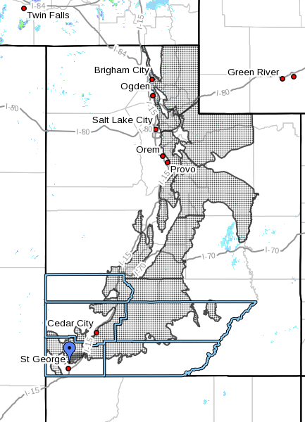
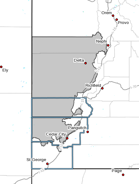
Wind advisory applies to the west-central and southwest valleys of Utah, including cities of Delta, Fillmore, Beaver, Cedar City and Milford.
Snow advisory applies to all mountain areas in Utah.
- Winds, snow
Southwest winds 20-30 mph are forecast with gusts near 45 mph.
Generally, 6-12 inches of snow may accumulate with the higher amounts occurring at higher elevations and along western slopes. The weather service forecasts even greater amounts possible in mountains to the south and east of the Great Salt Lake.
- Timing
Strong southwest winds will develop early Wednesday morning, then remain strong in the afternoon and early evening.
A cold front will sweep south across the advisory area and turn the winds to the northwest early Wednesday evening. Winds will briefly remain strong behind the front then decrease after midevening.
Snow is expected to accumulate over the northern mountains Wednesday and spread south Wednesday evening, continuing into Thursday morning. Snow is likely to turn showery after midmorning Thursday and taper off after noon.
Valley locations will receive rain early in the storm with rain and snow Wednesday night through Thursday morning.
- Impacts
Travel along all west-to-east roadways will be impacted by strong crosswinds.
As seasonal high-elevation roads and highways are still open, those routes are expected to be particularly hard hit by the snow and showers.
“Winter weather conditions will impact travel along pretty much all mountain routes,” the weather service’s Tuesday advisory stated, “with the period of greatest impact occurring after midnight Wednesday night through midmorning Thursday.”

Utah Department of Transportation anticipates road snow and slush will become a concern for northern mountain routes as early as 2 p.m. Wednesday followed by southern mountain routes after 10 p.m.
Ski resorts around the state are opening later this year because of the lack of snow, St. George News reported Tuesday. Brian Head Resort near Parowan announced Monday the resort was forced to postpone the opening day of the ski season; the resort typically opens about a week before Thanksgiving.
Precautionary and preparedness actions
National Weather Service wind advisories mean that sustained wind speeds of at least 31 mph or gusts of 45 mph are expected. Motorists should be prepared for sudden gusty crosswinds.
The service’s winter advisory means snow accumulations will largely cause travel difficulties with snow-covered roads and reduced visibility. Motorists should be prepared for snow.
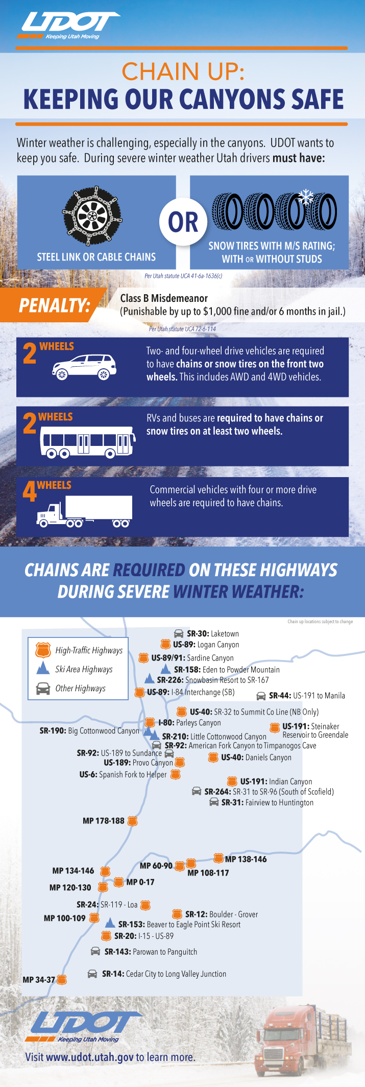
Utah law requires vehicles to have either steel link or cable chains or snow tires when driving roads in winter conditions October through March. Utah Department of Transportation’s infographic with particulars follows below.
Now is a good time to stock vehicles with a number of items that can make the difference between death and survival in the event of getting stuck in the snow. See St. George News checklist, previously published, here: Stocking your vehicle for winter; what to do in case of emergency, checklist.
Download this printable PDF: Vehicle Preparation and Safety Precautions for Winter Weather – this is a project the whole family could participate in – make it a scavenger hunt with potentially lifesaving benefits.
Resources
-
Printable/Saveable PDF: Vehicle Preparation and Safety Precautions for Winter Weather.
- UDOT’s Road Weather Alerts
- UDOT’s Current Road Conditions
- UDOT’s smartphone travel app
Email: [email protected]
Twitter: @STGnews
Copyright St. George News, SaintGeorgeUtah.com LLC, 2016, all rights reserved.
This doesn’t effect me. I don’t have to work for a living. !