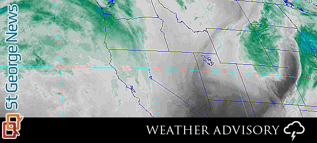
UTAH – The National Weather Service in Salt Lake City has issued a Special Weather Statement
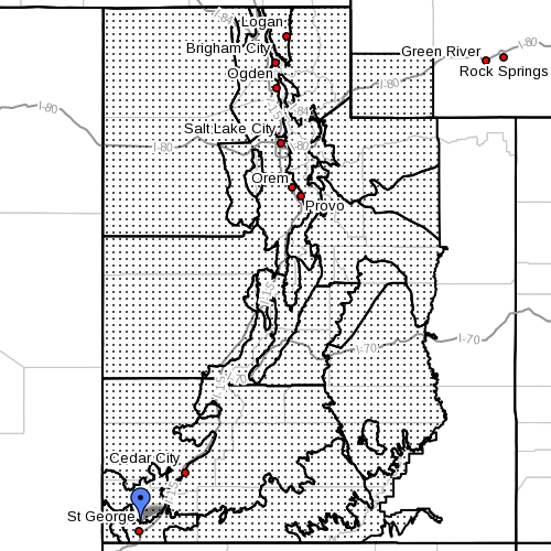
Areas affected:
Utah Cache Valley/Utah portion, northern Wasatch front, Salt Lake and Tooele Valley, southern Wasatch front, Great Salt Lake desert and mountains, Wasatch Mountain Valleys, Wasatch Mountains, Interstate 80, north Wasatch Mountains, south of Interstate 80, western Uinta Mountains, Wasatch Plateau/Book Cliffs, western Uinta Basin, Castle Country, San Rafael Swell, Sanpete/Sevier Valleys, west central Utah, southwest Utah, Utah’s Dixie and Zion National Park, south central Utah, Glen Canyon Recreation Area/Lake Powell, central Mountains, southern mountains, southwest Wyoming.
A winter storm is expected Saturday:
A potent cold front is forecast to blast through the state of Utah and southwest Wyoming on Saturday bringing modest snow totals to the region. A short burst of snow is expected to coincide with the cold front.
Later in the day snow will redevelop and become heavy at times into Saturday night.
There is potential that a lake-effect snow band will enhance snow totals southeast of the Great Salt Lake Saturday night into Sunday.
In addition to snow strong winds will likely cause areas of blowing and drifting snow. Travel impacts are possible due to this storm.
Email St. George News: [email protected]
Twitter: @STGnews